
Find a Wyandotte Street by Address
An address is the practical start for a Wyandotte street search, but it is not a complete household list. The City Assessor and BS&A connect an address to a current parcel and owner record. The Wayne County map supplies the parcel identifier and nearby polygons. Recorded deeds then use a legal description or parcel trail, while a historical directory may place an occupant at the address in a particular year. Treat each result as evidence of the role and date it actually records.
- Search the Wyandotte BS&A property route by address. Save the property address, parcel number, owner name, legal description, values, and any displayed classification separately.
- Open the Wayne County Parcel Viewer, pan to the street, select the parcel, and note its parcel ID and adjacent polygons.
- Use the owner name and legal description in the Wayne County land-record portal. Read a deed as ownership evidence, not proof that every person at an address lived there.
- For a registration question, use the Michigan public voter tools for the named person. A street-wide result is not offered by the inspected public form; a lawful QVF data request is the separate route for requestable data.
- For an older address, search the street and number in Bacon’s directory materials and compare nearby entries. The directory date belongs with the result.
That chain keeps the street directory focused on address-keyed records. It also avoids treating an owner, a voter, and a directory occupant as interchangeable labels.
Wyandotte Street Directory Search Fields
BS&A offers several municipal service routes, rather than one field that answers every question. Select Assessing for the property path and use the address when the address is known. When a format does not return a match, the same portal provides name and parcel-number routes. The Building Department route uses its own record-number field. The local parcel-number format was not stated in the inspected city material, so copy the number from the selected parcel instead of inventing punctuation.
| BS&A control | Type | When required | Wyandotte use |
|---|---|---|---|
| Assessing service | Menu | Choose first | Property and assessment route |
| Address | Text | Address mode | Start with the physical property address |
| Name | Text | Name mode | Owner-name search is available |
| Parcel Number | Text | Parcel mode | Use the identifier from the parcel record |
| Building Department Record Number | Text | Building mode | Address-linked permit or inspection route |
| Service type | Menu | Optional | Assessing, Building, tax, utility, special assessment, and other city services |
| Search / Clear | Buttons | As needed | Exact live button labels need visual confirmation |
The Wyandotte BS&A municipal records landing page shows the separate service routes behind the property, building, tax, and utility searches.
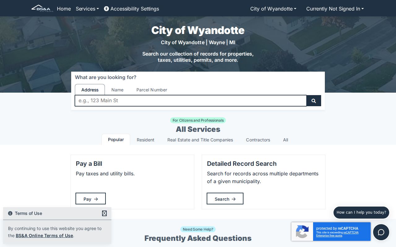
The service menu reinforces why an address result should be identified by record type before it is compared with a parcel or deed result.
The city says owner information is free, and its assessor page links BS&A, DocuWare, and plat-map PDFs. Other records may need a focused request. Search results should be copied with their source and date because the accessible parcel-card field list was not fully rendered during research.
Note: A search result can identify a current parcel relationship without establishing every present or past resident at that address.
Map a Wyandotte Street Parcel
The county’s Interactive Maps hub describes pan, zoom, feature selection, and some analysis. In the Parcel Viewer, select a property polygon rather than relying on a label alone. The resulting parcel ID is the useful handoff to BS&A, the Treasurer, and the deed search. Adjacent polygons help identify the immediate sequence of parcels on a street, but the research did not confirm a current radius tool or a complete live layer list.
Map context is not a list of people. It identifies land and parcel geometry. A selected parcel can be compared with a plat, legal description, or an old address, which is especially useful when a numbered-street reference does not resemble the modern street label.
Note: Confirm any visible map-layer name before relying on it, because the publicly inspected material did not capture the active layer panel.
Three Wyandotte Address Identities
One Wyandotte parcel can carry more than one address-like label. The situs or property address is the physical location of the parcel. A mailing address is where tax correspondence goes and may be elsewhere. The legal description is the land-record identity used in plats and deeds. Keep all three in a street directory research note, because a mismatch can be routine and does not by itself explain an owner’s residence or a household’s makeup.
- Parcel
- A defined piece of land used by assessment and map systems. Its number bridges the city property record to county tax and deed research.
- Situs address
- The physical property location. It is different from the tax-notice mailing address.
- Plat
- A recorded map that can show a subdivision’s lots and blocks. It helps translate a legal description or an older street reference.
- Criss-cross directory
- An address-to-name style directory, often called a reverse directory. Bacon’s public material supports searching street and number, but a standalone Wyandotte criss-cross series is not confirmed.
Assessed value is not market value, and taxable value is not the tax bill. A homestead classification may be useful tax evidence, yet it does not prove who currently stays at a location.
Trace Deeds Along a Wyandotte Street
For a title trail, begin with the current owner and parcel from the assessor, then search the Register of Deeds with that owner as grantee or buyer. Match the purchase record by legal description, lot and block, parcel identifier, or document placement. The seller or grantor from that instrument becomes a prior grantee search. Trusts, estates, corporations, spouses, and spelling variants can all affect how a name appears in an index.
The Wayne County Register of Deeds says its current portal has recorded documents after 1986, while an older official search-services page describes online searching back to 1960. That is an unresolved access difference, not a safe cutoff to smooth over. The free name index has limited access; expanded sessions and images may carry charges. Older books and indexes lead to the office, county records staff, archive, library-copy, or written-request channels. Appointments have been required at the Register of Deeds since October 1, 2025.
The Wayne County land-record search landing page is the online entry point for the index discussed here.
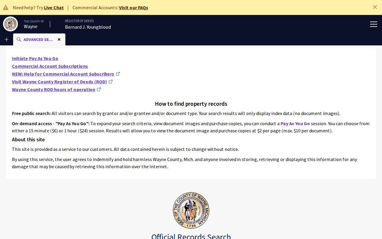
Use the portal result with a legal description or document reference, then change to the office or request route if the needed record falls outside the available online range.
Deed trail reminder. A deed follows ownership, not a complete occupancy history. Pair its date with a directory, tax record, permit, census, or notice before drawing a household conclusion.
Search a Wyandotte Street for Taxes
The Wayne County Treasurer property-tax lookup provides a separate delinquent-tax and property route. In address mode, Street Name is required and accepts the first three or more letters; Street Number and Municipality are optional. Leave the number blank, enter the street letters, omit the suffix, and select Wyandotte to examine the form’s street-level results. Parcel mode requires the complete ID. Non-Detroit identifiers are described as 14 to 16 characters without spaces or dashes.
The official Wayne County Treasurer lookup shows the address and parcel pathways used for this street directory search.
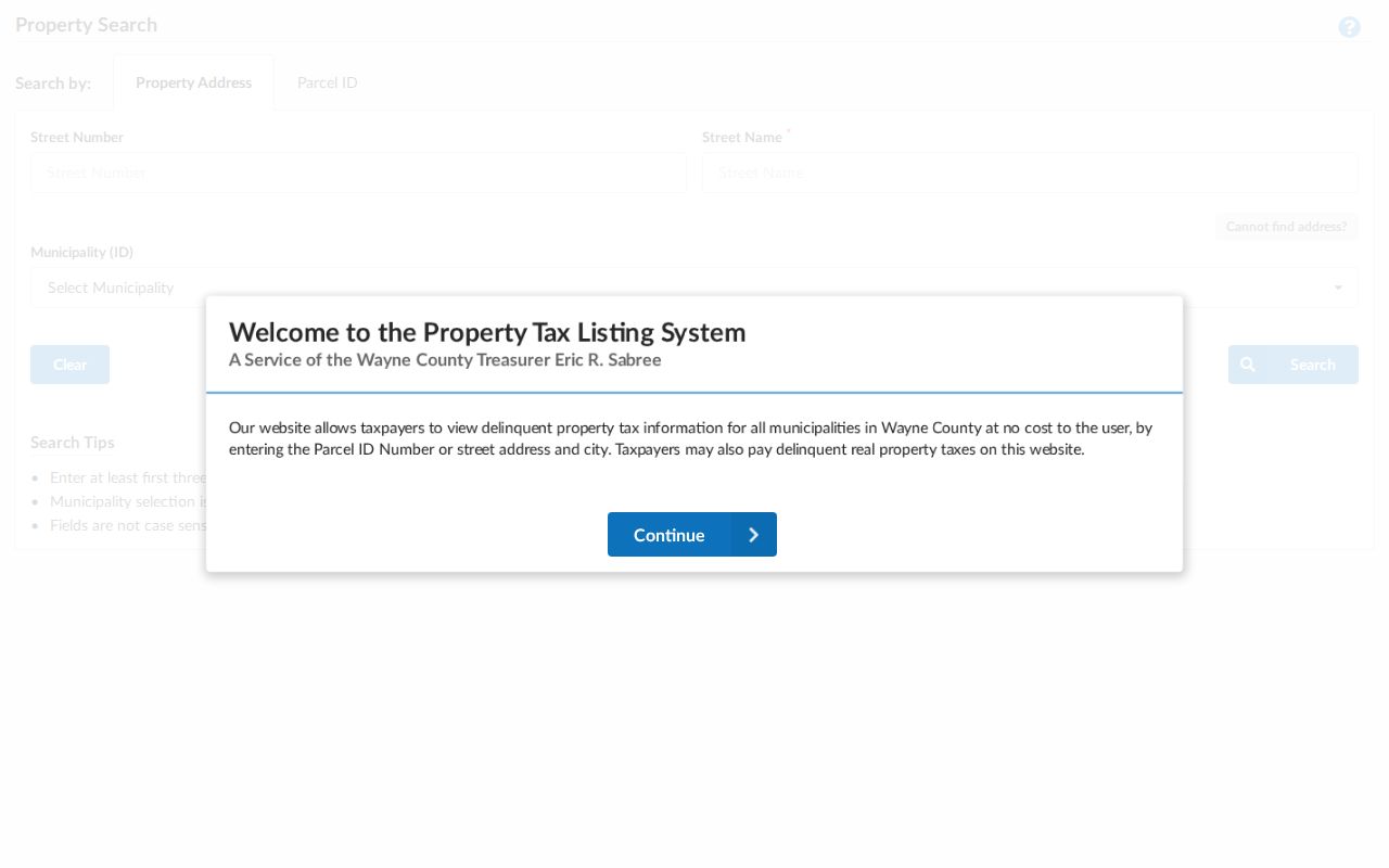
A tax result is a delinquency or property trail, not the full assessment card. If the form reports no result, the published tax-information phone is 313-224-5990, and the Treasurer lists taxinfo@waynecountymi.gov for follow-up.
Note: The Treasurer’s whole-street option depends on leaving the street number blank, not on a ZIP or a name search.
Old Wyandotte Streets and Van Alstyne
Wyandotte’s official street-history archive says early streets were laid out roughly parallel to the Detroit River and were numbered. It identifies Front or First, the prominent river street, as the street later called Van Alstyne Boulevard for the city’s first mayor. That official bridge matters when an old directory, plat, or deed uses Fifth, Front, or First rather than a modern name.
Search historical and current names together, then compare nearby numbers, the plat, and a Sanborn sheet before carrying an old entry forward. Further annexation and renumbering details appear in local-history accounts, but a complete official year-by-year conversion was not located. The narrow, documented naming bridge is the safer one to use.
For date-specific occupants, Bacon Memorial District Library holds Polk and Bressers volumes and a digitized directory collection as the local fallback. The historical runs are covered in more detail through the Wyandotte city directory collections.
Wyandotte Street Records and Their Reach
Address-keyed sources answer different questions. Use the property record for the current parcel and owner relationship, the map for geometry, the Treasurer for its tax route, the Register of Deeds for recorded instruments, and historic materials for dated occupancy clues. The following coverage keeps the limits visible while working along a Wyandotte street.
| Address record set | What it shows | Key | Access channel |
|---|---|---|---|
| BS&A assessment | Current owner, parcel, assessment and tax classifications | Address, name, or parcel | Free basic public route; city assessor support |
| County Parcel Viewer | Parcel geometry and adjacent polygons | Selected parcel ID | Public map viewer |
| Wayne tax lookup | Delinquent tax or property search | Address or complete parcel ID | Public form, phone, or Treasurer email |
| Register of Deeds | Recorded conveyances and legal descriptions | Grantor, grantee, parcel, address, or legal description | Limited index, paid image route, office, mail request |
| Building records | Permit, inspection, or code events | Address or building record number | BS&A, Engineering and Building, or focused request |
| QVF | Registration, precinct, and requestable history | Named-person lookup or written request | State tool or lawful county/state request |
| City directories | Historic occupant and address sequence | Street and number | Bacon or museum materials |
| Sanborn or plat | Lot, building, and street context | Address, lot, or block | Library, archive, or map collection |
Use the parcel number as a bridge, but do not force every record to match a modern address. A legal description can outlast a street-number change, and a record’s date is as important as its name field.
Request Wyandotte Address Records
When a portal does not expose a needed permit, inspection, or code record, contact the City Engineering and Building Department or use a focused city request. The department’s published phone is 734-324-4551. The City Clerk processes municipal Freedom of Information Act requests through the city’s FOIA route; a written request should identify the address, record type, date span, and requested fields. Michigan FOIA normally calls for a response in five business days, with a possible ten-business-day extension and itemized permitted fees.
For historical address questions, Bacon Memorial District Library is a separate human-assisted path. Its Local History Rooms accept research questions about a person, home, or business and hold directories, newspapers, tax lists, photos, and maps. The published local-history contact is 734-246-8357. The Wyandotte museum archive adds owner-attributed maps and plats for 1870 through 1923, directories, state census material, and surname files. Neither source promises a completed title abstract, so request a specific volume or record group.
Use an office appointment or written request for older deeds when the online date range ends. That fallback is part of the Wyandotte street directory trail, not a failed search.
Limits of a Wyandotte Street Directory
Public address records cannot establish a complete household, every visitor, a private utility customer, or every person who has lived at a location. A tax card is not a census, and the public voter lookup is not an all-voters-on-a-street screen. Michigan voter records have redactions, and protected participants may use a substitute address through the Michigan Address Confidentiality Program. Motor-vehicle address information is protected by the DPPA.
Lawful use. Use Wyandotte street and parcel records for personal, lawful research. Never use an address trail to monitor, threaten, repeatedly contact, or harass another person; Michigan stalking law covers repeated unconsented conduct.
Recorded images can contain sensitive information subject to statutory redaction. Preserve source details for your own research, but do not reproduce account numbers or protected personal information from a recorded image. A request that is no longer about the parcel or a dated record should be directed to the responsible custodian instead of inferred from a street search.